This was a bit of a white whale. I had set out early to find some way to access the mountains around Steenbras Dam. From Google Earth you can see all kinds of interesting roads and paths, but when you try and get anywhere near there you’re met with locked gates and razor wire. I then drove the winding road technically called “Steenbras Dam Mountain Pass” on the Gordon’s Bay side up to the official Steenbras Dam waterworks / lookout point thing. At the top the security guards very nicely told me that no public access has been allowed for the last 10 years. I should probably have tried to send some emails ahead of time and gotten permission.
I decided that the next best thing was to get up onto the mountainside from the edge of the Gordon’s Bay housing line. After driving around a while I found what looked like the start of a hiking path.

Tthe Danie Miller “Hiking Trail” is really just a very short contour path that skirts around the back of the houses. I’m sure it’s probably lovely, but not the kind of thing I’m into, although I should probably do it some day.
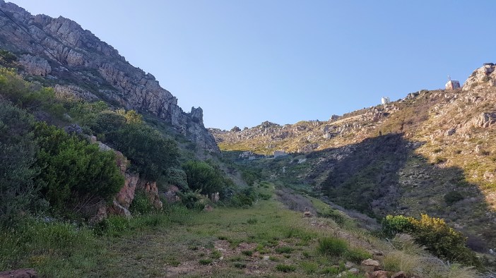
Because I’m stubborn and just a little bit stupid, I decided to hike up the very steep fire break to see where it took me. It is steep as hell, but you’ve just got to keep putting one foot in front of the other and eventually you get to the top.
On the top left you can see a little buttress sticking out of the mountainside. I decided that’s where I wanted to go… mainly because it was somewhere to string my dipole antenna across because this kind of terrain has zero tall trees.

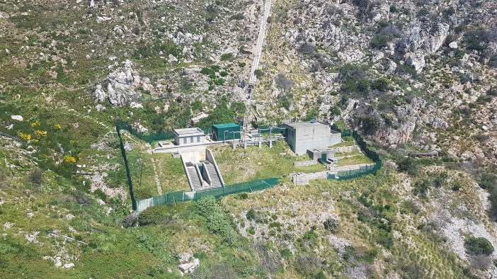
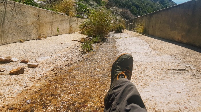
This is where things get a bit hairy. At the top of the firebreak you’ll find the lower pumping station, and that means water. With no actual paths I climbed up a slippery “crevasse” dripping with water and rocks that fell apart when you touch them. This was stupid, I was alone.
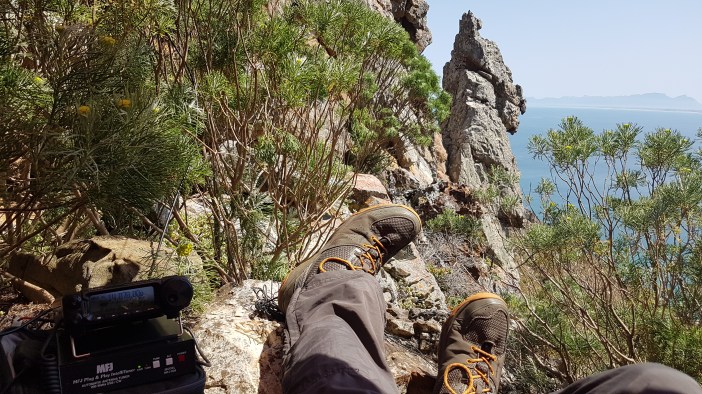
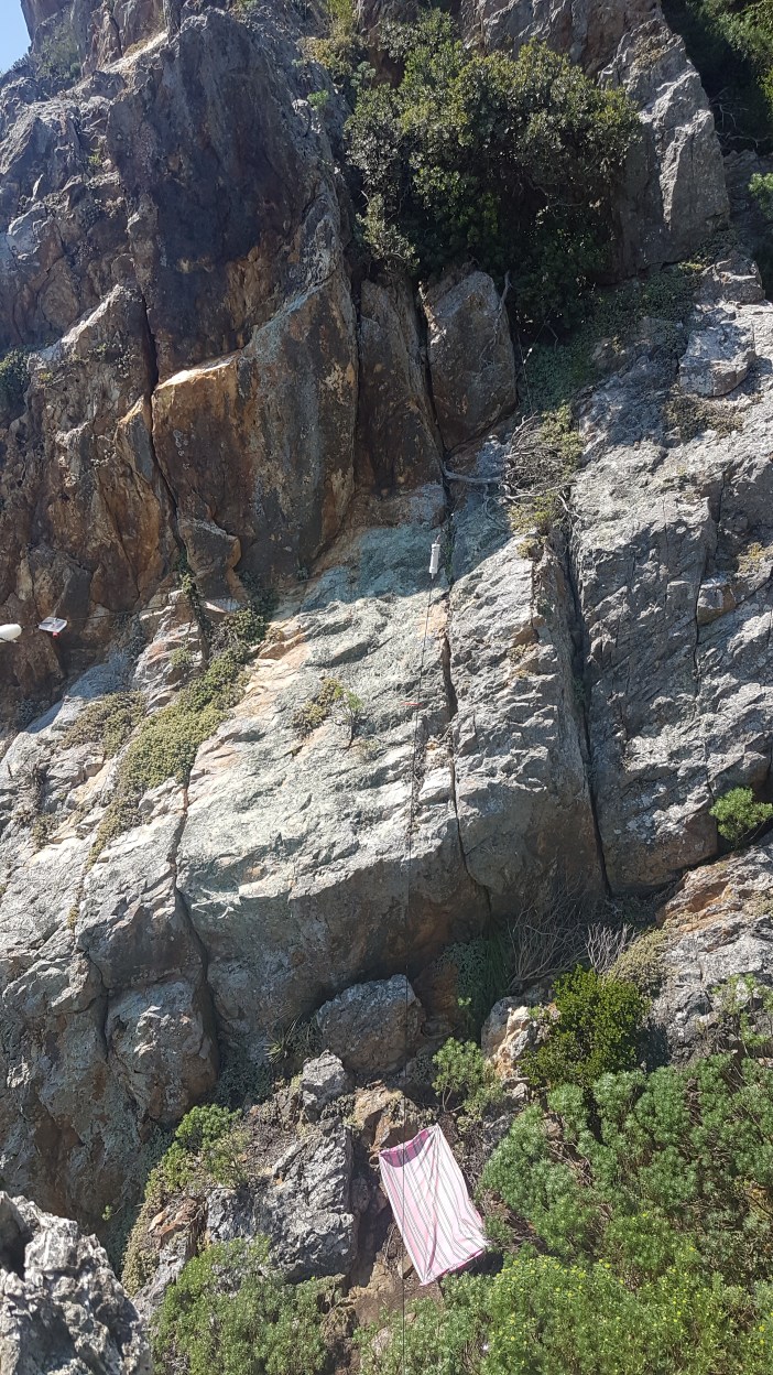
At the top I got my antenna setup and soon started to get sunburnt. I set up a little impromptu shade cloth with an old sheet that I carry in my bag. The pink thing in the below photo is a single bed sheet which should give you some sense of scale. It is really pretty up there but I had to keep one leg dug into a rock to keep myself from slipping off the edge.

Coming back down was way worse. I was hot, had run out of water, and was rushing to try and avoid getting more sunburnt. If you do this route, do not try and cut corners up or down. You need to bundu bash the long way around the back. I (obviously) took a short cut and had a bit of a moment (ie. mild panic attack) on a rock face where I couldn’t figure out how to move up or down.

I am not too proud to admit that I had a little moment when I got back down to the stream. It was the coldest, most welcoming water I have ever tasted. I sat there for an awkwardly long time dousing myself in fresh bottles of water.
Summary
Date: 7 October 2018
Distance and Elevation: <2km and 200m Elevation Gain.
Coordinates: Parking spot -34.169608, 18.851161 Buttress: -34.173199, 18.852497
Conditions: Super hot, 40 degrees with very little wind so needed shade. No actual paths.
Radio Stuff: It’s relatively easy to string up a 20m dipole across the gap, but obviously it’s a very compromised setup with rocks pretty much surrounding you. I was able to make SSB contacts all across the country and this was the first time I tested JS8Call portable and made contact with stations in JHB. There is the occasional burp of very strong RF noise that I suspect is a pump spinning up at the waterworks).
Notes: This is a very remote location. No one will hear your screams.
